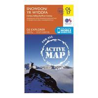
Ordnance Survey Active Explorer Ol 17 Snowdon Map, Orange
Ordnance Survey Active Explorer Ol 17 Snowdon Map, Orange: Looking to uncover the secrets of Snowdon and the Snowdonia National Park? Then the Explorer OL 17 from Ordnance Survey...
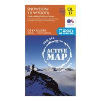
Ordnance Survey Active Explorer Ol 17 Snowdon Map, Orange
Ordnance Survey Active Explorer Ol 17 Snowdon Map, Orange: Looking to uncover the secrets of Snowdon and the Snowdonia National Park? Then the Explorer OL 17 from Ordnance Survey...
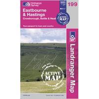
Ordnance Survey Active Landranger 199 Eastbourne & Hastings Map, Orange
Ordnance Survey Active Landranger 199 Eastbourne & Hastings Map, Orange: The weatherproof Active Landranger 199 from Ordnance Survey is a detailed, all-purpose map designed to be your guide to...
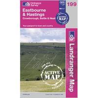
Ordnance Survey Active Landranger 199 Eastbourne & Hastings Map, Orange
Ordnance Survey Active Landranger 199 Eastbourne & Hastings Map, Orange: The weatherproof Active Landranger 199 from Ordnance Survey is a detailed, all-purpose map designed to be your guide to...
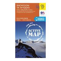
Active Explorer Ol 17 Snowdon Map
Active Explorer Ol 17 Snowdon Map: Looking to uncover the secrets of Snowdon and the Snowdonia National Park? Then the Explorer OL 17 from Ordnance Survey...
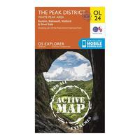
Ordnance Survey Active Explorer Ol 24 The Peak District (white Pe...
Ordnance Survey Active Explorer Ol 24 The Peak District (white Peak Area) Map, Orange: Your essential weatherproof guide to The Peak District, the Active Explorer OL 24 from Ordnance Survey is a detailed...
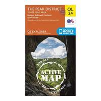
Ordnance Survey Active Explorer Ol 24 The Peak District (white Pe...
Ordnance Survey Active Explorer Ol 24 The Peak District (white Peak Area) Map, Orange: Your essential weatherproof guide to The Peak District, the Active Explorer OL 24 from Ordnance Survey is a detailed...
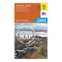
Ordnance Survey Active Explorer Ol 37 Cowal East Map, Orange
Ordnance Survey Active Explorer Ol 37 Cowal East Map, Orange: The Active Explorer OL 37 is a detailed weatherproof map which covers Cowal East, Dunoon and Inveraray, and replaces...
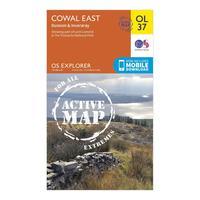
Ordnance Survey Active Explorer Ol 37 Cowal East Map, Orange
Ordnance Survey Active Explorer Ol 37 Cowal East Map, Orange: The Active Explorer OL 37 is a detailed weatherproof map which covers Cowal East, Dunoon and Inveraray, and replaces...
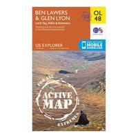
Ordnance Survey Active Explorer Ol 48 Ben Lawers & Glen Lyon Map, Orange
Ordnance Survey Active Explorer Ol 48 Ben Lawers & Glen Lyon Map, Orange: The Active Explorer OL 48 is a detailed weatherproof map which covers a wide area from Loch Lyon to Loch Tay. A...
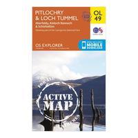
Ordnance Survey Active Explorer Ol 49 Pitlochry & Loch Tummel Map, Orange
Ordnance Survey Active Explorer Ol 49 Pitlochry & Loch Tummel Map, Orange: The Active Explorer OL 49 is a detailed weatherproof map which shows Loch Tummel, eastern Loch Rannoch and the towns...
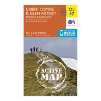
Ordnance Survey Active Explorer Ol 47 Crieff, Comrie & Glen Artne...
Ordnance Survey Active Explorer Ol 47 Crieff, Comrie & Glen Artney Map, Orange: The Active Explorer OL 47 is a detailed weatherproof map which covers Crieff, Comrie and the surrounding areas...
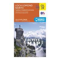
Ordnance Survey Active Explorer Ol 39 Loch Lomond North Map, Orange
Ordnance Survey Active Explorer Ol 39 Loch Lomond North Map, Orange: The Active Explorer OL 39 is a detailed weatherproof map which covers the northern area of Loch Lomond and the towns of...
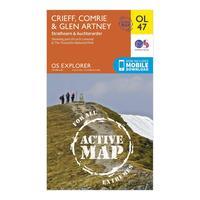
Ordnance Survey Active Explorer Ol 47 Crieff, Comrie & Glen Artne...
Ordnance Survey Active Explorer Ol 47 Crieff, Comrie & Glen Artney Map, Orange: The Active Explorer OL 47 is a detailed weatherproof map which covers Crieff, Comrie and the surrounding areas...
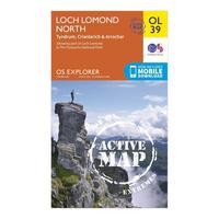
Ordnance Survey Active Explorer Ol 39 Loch Lomond North Map, Orange
Ordnance Survey Active Explorer Ol 39 Loch Lomond North Map, Orange: The Active Explorer OL 39 is a detailed weatherproof map which covers the northern area of Loch Lomond and the towns of...
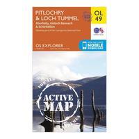
Ordnance Survey Active Explorer Ol 49 Pitlochry & Loch Tummel Map, Orange
Ordnance Survey Active Explorer Ol 49 Pitlochry & Loch Tummel Map, Orange: The Active Explorer OL 49 is a detailed weatherproof map which shows Loch Tummel, eastern Loch Rannoch and the towns...
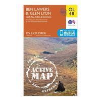
Ordnance Survey Active Explorer Ol 48 Ben Lawers & Glen Lyon Map, Orange
Ordnance Survey Active Explorer Ol 48 Ben Lawers & Glen Lyon Map, Orange: The Active Explorer OL 48 is a detailed weatherproof map which covers a wide area from Loch Lyon to Loch Tay. A...
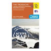
Ordnance Survey Active Explorer Ol 46 The Trossachs Map, Assorted
Ordnance Survey Active Explorer Ol 46 The Trossachs Map, Assorted: The Active Explorer OL 46 is a detailed weatherproof map which covers an area in the north east of the Loch Lomond and...
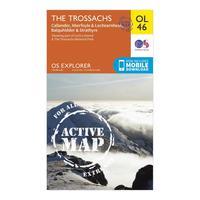
Ordnance Survey Active Explorer Ol 46 The Trossachs Map, Assorted
Ordnance Survey Active Explorer Ol 46 The Trossachs Map, Assorted: The Active Explorer OL 46 is a detailed weatherproof map which covers an area in the north east of the Loch Lomond and...
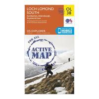
Ordnance Survey Explorer Active Ol38 Loch Lomond South Map, Orange
Ordnance Survey Explorer Active Ol38 Loch Lomond South Map, Orange: The essential map for outdoor activities in all weathers in Loch Lomond South. The OS Explorer Active Map is the...


