Ordnance Survey Explorer Active Ol12 Brecon Beacons National Park...
Ordnance Survey Explorer Active Ol12 Brecon Beacons National Park - Western & Central Areas Map With Digital Version - Orange, Orange: Providing complete GB coverage, the OS Explorer map series details information essential in the great outdoors,...

Ordnance Survey Explorer Ol 12 Brecon Beacons National Park - Wes...
Ordnance Survey Explorer Ol 12 Brecon Beacons National Park - Western & Central Areas Map, Orange: The essential map for outdoor activities in Brecon Beacons National Park - Western & Central areas. The OS Explorer Map...

Ordnance Survey Explorer Ol 12 Brecon Beacons National Park - Wes...
Ordnance Survey Explorer Ol 12 Brecon Beacons National Park - Western & Central Areas Map, Orange: The essential map for outdoor activities in Brecon Beacons National Park - Western & Central areas. The OS Explorer Map...
Ordnance Survey Explorer Active 171 Chiltern Hills West, Henley-o...
Ordnance Survey Explorer Active 171 Chiltern Hills West, Henley-on-thames & Wallingford Map With Digital Version - Orange, Orange: The essential map for outdoor activities in all weathers in Chiltern Hills West, Henley-on-Thames andWallingford. The...
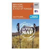
Ordnance Survey Explorer Active 447 Ben Hope, Ben Loyal & Kyle Of...
Ordnance Survey Explorer Active 447 Ben Hope, Ben Loyal & Kyle Of Tongue Map With Digital Version - Orange, Orange: Providing complete GB coverage, the OS Explorer map series details information essential in the great outdoors,...
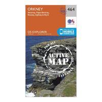
Ordnance Survey Explorer Active 464 Orkney - Westray, Papa Westra...
Ordnance Survey Explorer Active 464 Orkney - Westray, Papa Westray, Rousay, Egilsay & Wyre Map With Digital Version - Orange, Orange: Providing complete GB coverage, the OS Explorer map series details information essential in the great outdoors,...
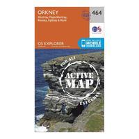
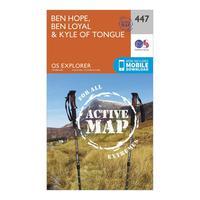
Ordnance Survey Explorer Active 447 Ben Hope, Ben Loyal & Kyle Of...
Ordnance Survey Explorer Active 447 Ben Hope, Ben Loyal & Kyle Of Tongue Map With Digital Version - Orange, Orange: Providing complete GB coverage, the OS Explorer map series details information essential in the great outdoors,...

Explorer Ol 12 Brecon Beacons National Park - Western & Central Areas Map
Explorer Ol 12 Brecon Beacons National Park - Western & Central Areas Map: The essential map for outdoor activities in Brecon Beacons National Park - Western & Central areas. The OS Explorer...
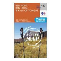
Ordnance Survey Explorer Active 447 Ben Hope, Ben Loyal & Kyle Of...
Ordnance Survey Explorer Active 447 Ben Hope, Ben Loyal & Kyle Of Tongue Map With Digital Version, Orange: The essential map for outdoor activities in all weathers in Ben Hope, Ben Loyal and Kyle of Tongue. The OS Explorer...
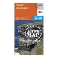
Ordnance Survey Explorer Active 464 Orkney - Westray, Papa Westra...
Ordnance Survey Explorer Active 464 Orkney - Westray, Papa Westray, Rousay, Egilsay & Wyre Map With Digital Version, Orange: The essential map for outdoor activities in all weathers in Orkney - Westray, Papa Westray, Rousay, Egilsay & Wyre. The...
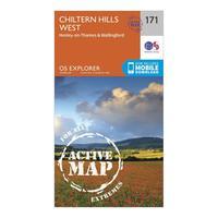
Ordnance Survey Explorer Active 171 Chiltern Hills West, Henley-o...
Ordnance Survey Explorer Active 171 Chiltern Hills West, Henley-on-thames & Wallingford Map With Digital Version, Orange: The essential map for outdoor activities in all weathers in Chiltern Hills West, Henley-on-Thames and Wallingford. The...
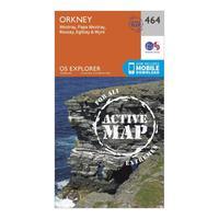
Ordnance Survey Explorer Active 464 Orkney - Westray, Papa Westra...
Ordnance Survey Explorer Active 464 Orkney - Westray, Papa Westray, Rousay, Egilsay & Wyre Map With Digital Version, Orange: The essential map for outdoor activities in all weathers in Orkney - Westray, Papa Westray, Rousay, Egilsay & Wyre. The...
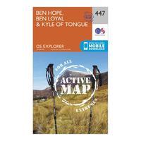
Ordnance Survey Explorer Active 447 Ben Hope, Ben Loyal & Kyle Of...
Ordnance Survey Explorer Active 447 Ben Hope, Ben Loyal & Kyle Of Tongue Map With Digital Version, Orange: The essential map for outdoor activities in all weathers in Ben Hope, Ben Loyal and Kyle of Tongue. The OS Explorer...
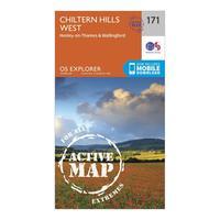
Ordnance Survey Explorer Active 171 Chiltern Hills West, Henley-o...
Ordnance Survey Explorer Active 171 Chiltern Hills West, Henley-on-thames & Wallingford Map With Digital Version, Orange: The essential map for outdoor activities in all weathers in Chiltern Hills West, Henley-on-Thames and Wallingford. The...
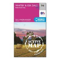
Ordnance Survey Landranger Active 94 Whitby, Esk Dale & Robin Hoo...
Ordnance Survey Landranger Active 94 Whitby, Esk Dale & Robin Hood\'s Bay Map With Digital Version - Orange, Orange: The OS Landranger Map Active is tough, durable and weatherproof. The maps are covered in a lightweight protective...
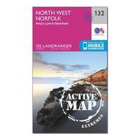
Ordnance Survey Landranger Active 132 North West Norfolk, King\'s...
Ordnance Survey Landranger Active 132 North West Norfolk, King\'s Lynn & Fakenham Map With Digital Version - Orange, Orange: The OS Landranger Map is the ideal map for planning the perfect day out. This best known national map series provides...


