Choose Which Site You Want To See


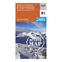
Ordnance Survey Explorer Active 429 Glen Carron & West Monar Map With Digital Version, Orange: The essential map for outdoor activities in all weathers in Glen Carron and West Monar. The OS Explorer Active Map is...
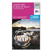
Ordnance Survey Landranger Active 203 Land\'s End, Isles Of Scilly, St Ives & Lizard Point Map With Digital Version, Orange: The OS Landranger Map is the ideal map for planning the perfect day out. This best known national map series provides...
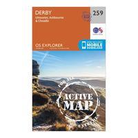
Ordnance Survey Explorer Active 259 Derby, Uttoxeter, Ashbourne & Cheadle Map With Digital Version, Orange: The essential map for outdoor activities in all weathers in Derby, Uttoxeter, Ashbourne and Cheadle. The OS Explorer...
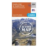
Ordnance Survey Explorer Active 384 Glen Coe & Glen Etive Map With Digital Version, Orange: The essential map for outdoor activities in all weathers in Glen Coe and Glen Etive. The OS Explorer Active Map is the...
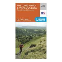
Ordnance Survey Explorer 217 The Long Mynd & Wenlock Edge Map With Digital Version, Orange: The essential map for outdoor activities in The Long Mynd and Wenlock Edge . The OS Explorer Map is the Ordnance...
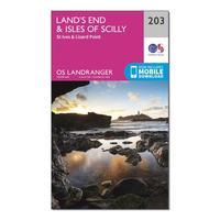
Ordnance Survey Landranger 203 Land\'s End & Isles Of Scilly, St Ives & Lizard Point Map With Digital Version, Orange: The OS Landranger Map is the ideal map for planning the perfect day out. This best known national map series provides...
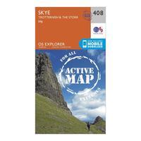
Ordnance Survey Explorer Active 408 Skye - Trotternish & The Storr Map With Digital Version, Orange: The essential map for outdoor activities in all weathers in Skye - Trotternish and The Storr. The OS Explorer Active...
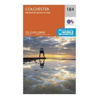
Ordnance Survey Explorer 184 Colchester, Harwich & Clacton-on-sea Map With Digital Version, Orange: The essential map for outdoor activities in Colchester, Harwich and Clacton-on-Sea. The OS Explorer Map is the Ordnance...

Ordnance Survey Explorer 208 Bedford, St Neots, Sandy & Biggleswade Map With Digital Version, Orange: The essential map for outdoor activities in Bedford, St Neots, Sandy and Biggleswade. The OS Explorer Map is the...
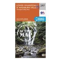
Ordnance Survey Explorer Active 297 Lower Wharfedale & Washburn Valley Map With Digital Version, Orange: The essential map for outdoor activities in all weathers in Lower Wharfedale and Washburn Valley. The OS Explorer...
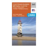
Ordnance Survey Explorer 265 Clwydian Range, Prestatyn, Mold & Ruthin Map With Digital Version, Orange: The essential map for outdoor activities in Clwydian Range, Prestatyn, Mold and Ruthin. The OS Explorer Map is the...
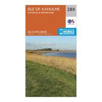
Ordnance Survey Explorer 280 Isle Of Axholme, Scunthorpe & Gainsborough Map With Digital Version, Orange: The essential map for outdoor activities in Isle of Axholme, Scunthorpe and Gainsborough. The OS Explorer Map is the...

Ordnance Survey Explorer 208 Bedford, St Neots, Sandy & Biggleswade Map With Digital Version, Orange: The essential map for outdoor activities in Bedford, St Neots, Sandy and Biggleswade. The OS Explorer Map is the...
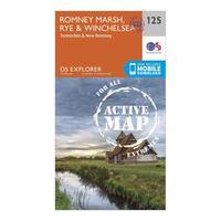
Ordnance Survey Explorer Active 125 Romneys Marsh, Rye & Winchelsea Map With Digital Version, Orange: The essential map for outdoor activities in all weathers in Romneys Marsh, Rye and Winchelsea. The OS Explorer Active...
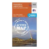
Ordnance Survey Explorer Active 165 Swansea, Neath & Port Talbot Map With Digital Version, Orange: The essential map for outdoor activities in all weathers in Swansea, Neath and Port Talbot. The OS Explorer Active Map...
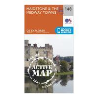
Ordnance Survey Explorer Active 148 Maidstone & The Medway Towns Map With Digital Version, Orange: The essential map for outdoor activities in all weathers in Maidstone and The Medway Towns. The OS Explorer Active Map...
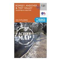
Ordnance Survey Explorer Active 131 Romsey, Andover & Test Valley Map With Digital Version, Orange: The essential map for outdoor activities in all weathers in Romsey, Andover and Test Valley. The OS Explorer Active Map...
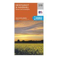
Ordnance Survey Explorer 210 Newmarket & Havehill, Barrow, Clare & Kedington Map With Digital Version, Orange: The essential map for outdoor activities in Newmarket & Havehill, Barrow, Clare and Kedington. The OS Explorer Map is...
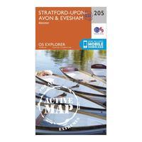
Ordnance Survey Explorer Active 205 Stratford-upon-avon & Evesham Map With Digital Version, Orange: The essential map for outdoor activities in all weathers in Stratford-upon-Avon and Evesham. The OS Explorer Active Map...
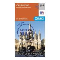
Ordnance Survey Explorer Active 209 Cambridge, Royston, Duxford & Linton Map With Digital Version, Orange: The essential map for outdoor activities in all weathers in Cambridge, Royston, Duxford and Linton. The OS Explorer...
